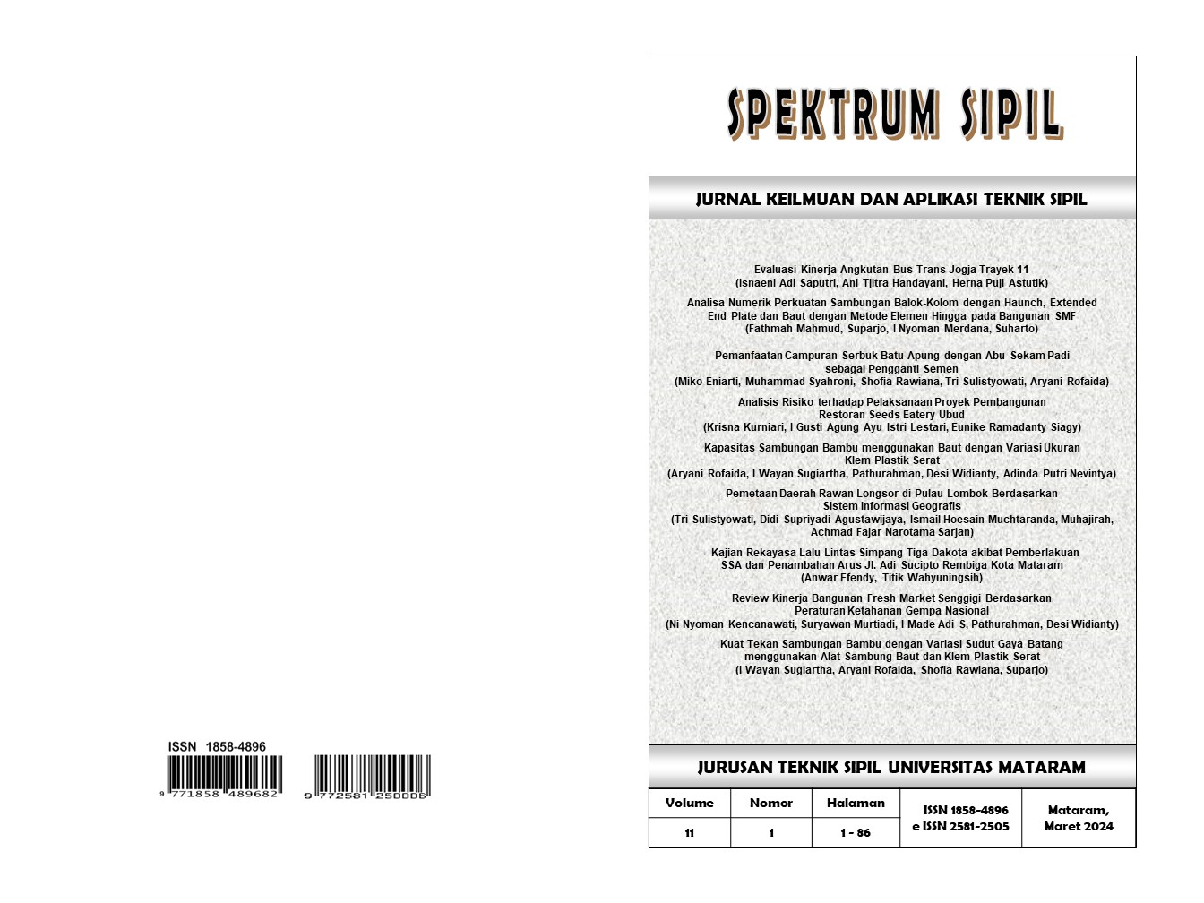
PEMETAAN DAERAH RAWAN LONGSOR DI PULAU LOMBOK BERDASARKAN SISTEM INFORMASI GEOGRAFIS
Mapping of Landslide-Prone Areas on Lombok Island Based on the Geographic Information System
DOI:
10.29303/spektrum.v11i1.345Published:
2024-03-26Issue:
Vol. 11 No. 1 (2024): SPEKTRUM SIPILKeywords:
peta, longsor, Pulau Lombok, Quantun GISArticles
Downloads
How to Cite
Downloads
Metrics
Abstract
Pulau Lombok memiliki beberapa kawasan yang berpotensi terjadi bencana longsor karena memiliki kemiringan lereng curam (> 25%) dengan jenis tanah dominan adalah andosol yang memiliki sifat peka erosi dan curah hujan lebih dari 1000 mm. Sepanjang tahun 2023 BPBD Provinsi NTB mencatat 22 kejadian bencana longsor. Dengan adanya kondisi tersebut maka dibutuhkan penelitian pemetaan daerah rawan longsor sebagai upaya mitigasi bencana. Pemetaan menggunakan beberapa parameter yaitu kemiringan lereng, curah hujan, tata guna lahan, geologi, kedalaman solum, tekstur tanah, dan permeabilitas tanah. Metode yang digunakan adalah skoring dan pembobotan, serta tumpang susun (overlay) antar parameter penyusunnya dengan menggunakan perangkat lunak yang bersifat open source, Quantum GIS (QGIS). Dari hasil penelitian didapatkan bahwa kerawanan longsor di Pulau Lombok terdiri dari empat tingkatan yaitu wilayah dengan tingkat rawan sangar tinggi dengan luas 611.33 km2 atau 12,90%, wilayah rawan longsor tinggi seluas 1,033.10 km2 atau 21,80%, wilayah rawan longsor sedang seluas 2,506.58 km2 atau 52,90% dan wilayah dengan tingkat rawan rendah terhadap longsor seluas 587.64 km2 atau 12,40%. Hasil validasi antara model yang telah dibuat dengan menggunakan metode skoring dan weighted overlay menggunakan Quantum GIS dengan kejadian longsor di lapangan menunjukkan hasil yang sesuai sehingga model yang dibuat dapat dipertanggungjawabkan.
Author Biographies
Tri Sulistyowati, Universitas Mataram
Didi Supriyadi Agustawijaya , Universitas Mataram
Ismail Hoesain Muchtaranda, Universitas Mataram
Muhajirah Muhajirah, Universitas Mataram
Achmad Fajar Narotama Sarjan, Universitas Mataram
License
Copyright (c) 2024 Tri Sulistyowati

This work is licensed under a Creative Commons Attribution 4.0 International License.
You are free to:
- Share — copy and redistribute the material in any medium or format for any purpose, even commercially.
- Adapt — remix, transform, and build upon the material for any purpose, even commercially.
The licensor cannot revoke these freedoms as long as you follow the license terms.
Under the following terms:
- Attribution — You must give appropriate credit, provide a link to the license, and indicate if changes were made. You may do so in any reasonable manner, but not in any way that suggests the licensor endorses you or your use.
- No additional restrictions — You may not apply legal terms or technological measures that legally restrict others from doing anything the license permits.
Notices:
You do not have to comply with the license for elements of the material in the public domain or where your use is permitted by an applicable exception or limitation.
No warranties are given. The license may not give you all of the permissions necessary for your intended use. For example, other rights such as publicity, privacy, or moral rights may limit how you use the material.


